An immersive and collaborative Mixed Reality solution.

HoloLens 2® version

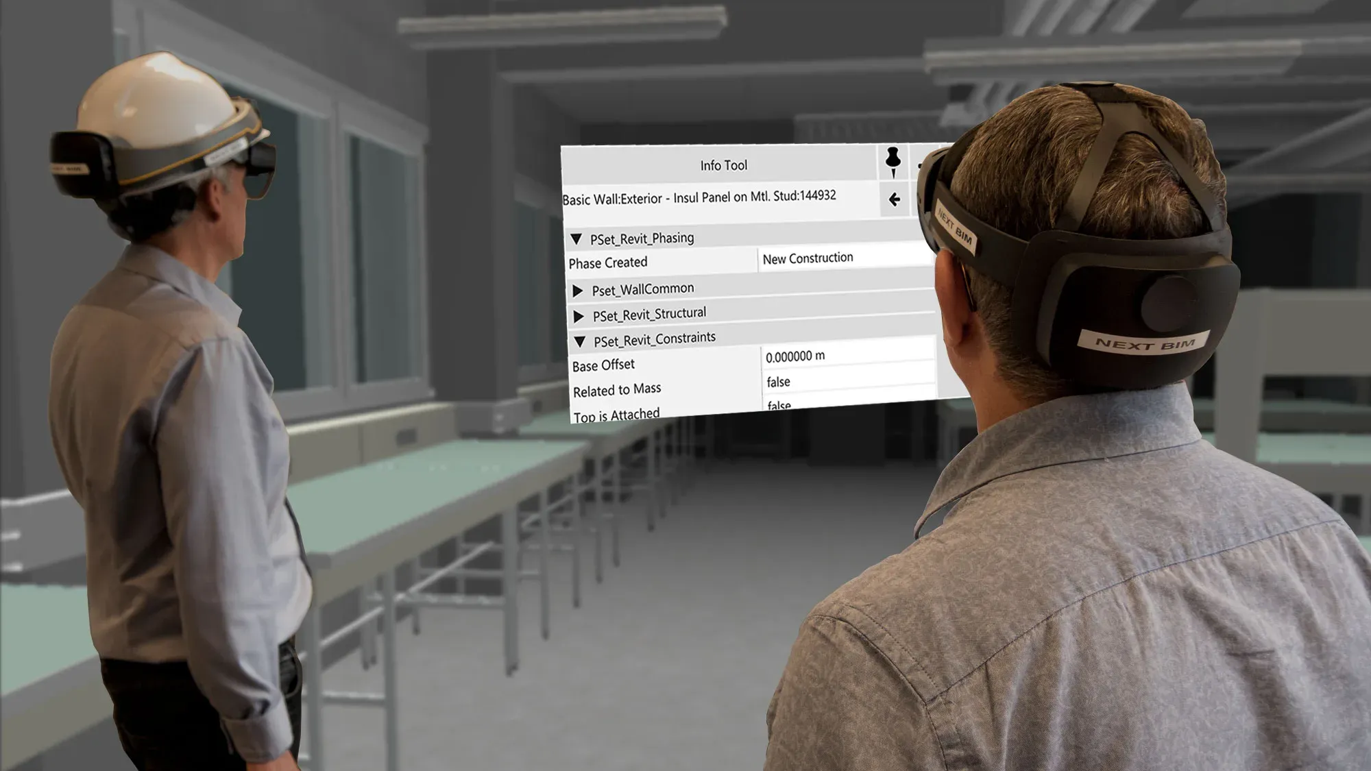
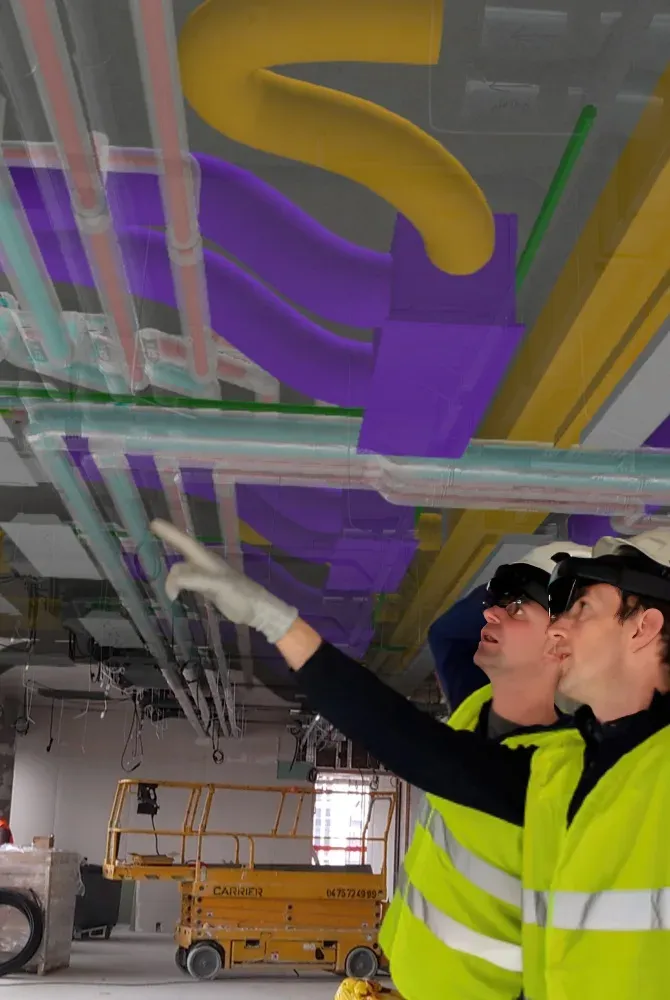
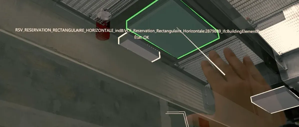
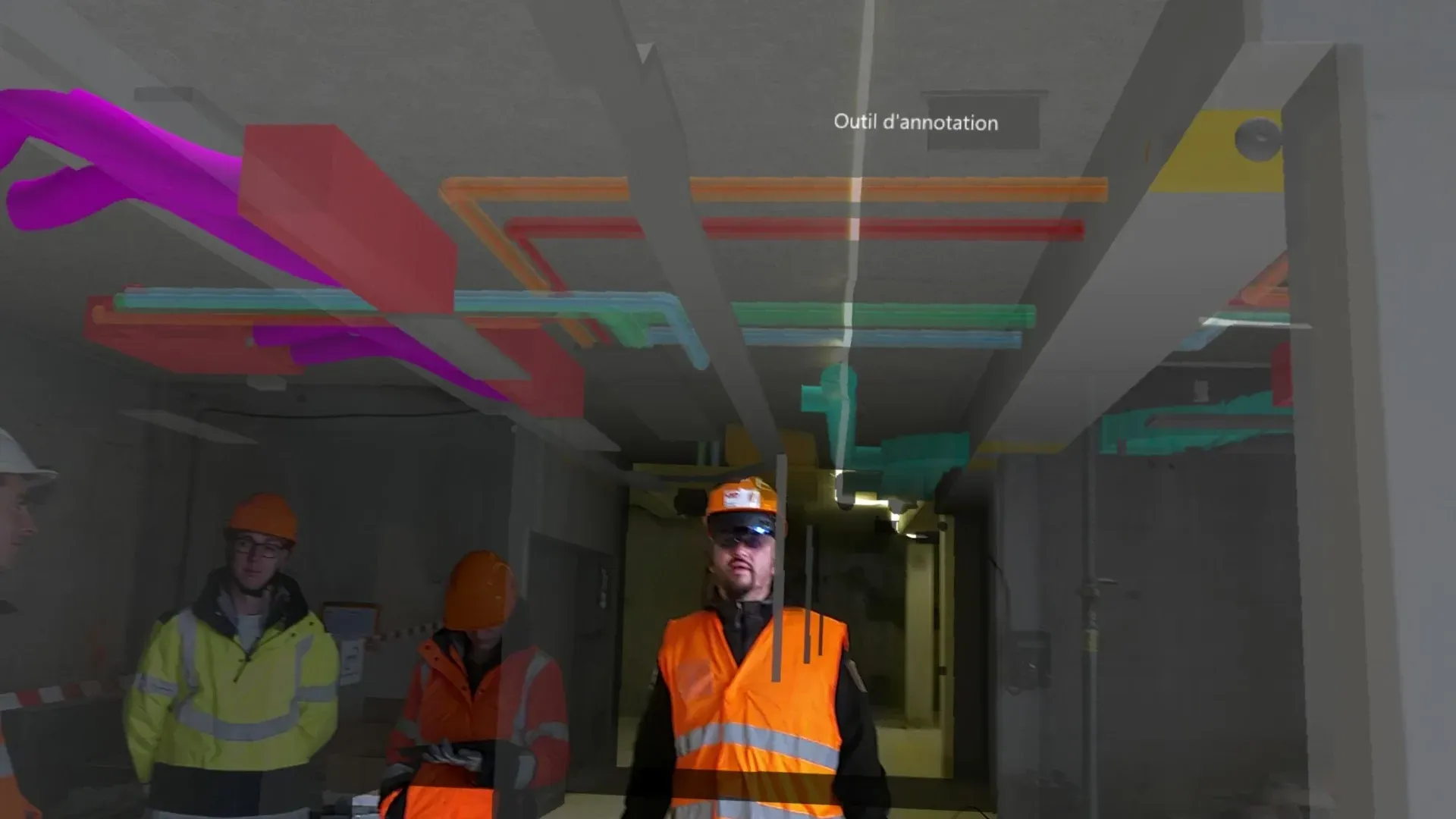
Experience full immersion to understand, control, install, and make decisions directly on site. A hands-free, fully immersive experience for your projects. Unlock the full potential of your BIM models with NEXT-BIM on HoloLens 2.

Discover our solution in video!

The video loads from YouTube when you click.

Why choose NEXT-BIM on HoloLens 2?

  • 1:1 immersive experience

    With the HoloLens 2 headset, step inside your BIM models at full scale—on site or off site—while keeping your hands free for better project understanding.

  • Works anywhere, even offline

    Use it without internet connection, including underground or in constrained environments.

  • Automatic and continuous alignment

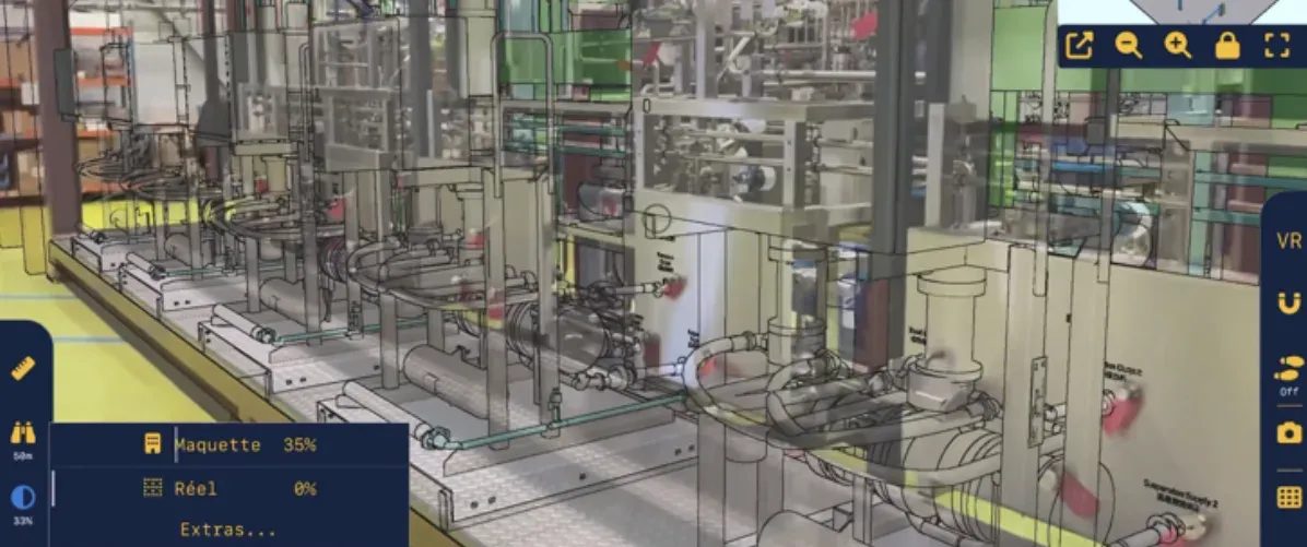
    Precisely overlay the 3D model onto reality—no markers, no site preparation.

  • Handles very large BIM models

    Smooth navigation through multi-GB models thanks to NEXT-BIM’s proprietary 3D engine.

  • Interoperability & OpenBIM

    Export to Word, Excel, and BCF + BCF import
    Seamlessly integrate with your existing tools.

  • Immersive collaboration

    In the office or on site, stakeholders can collaborate simultaneously inside the BIM model, making it easier to understand and analyze key project elements.

Why HoloLens 2?

Mixed Reality designed for the field.

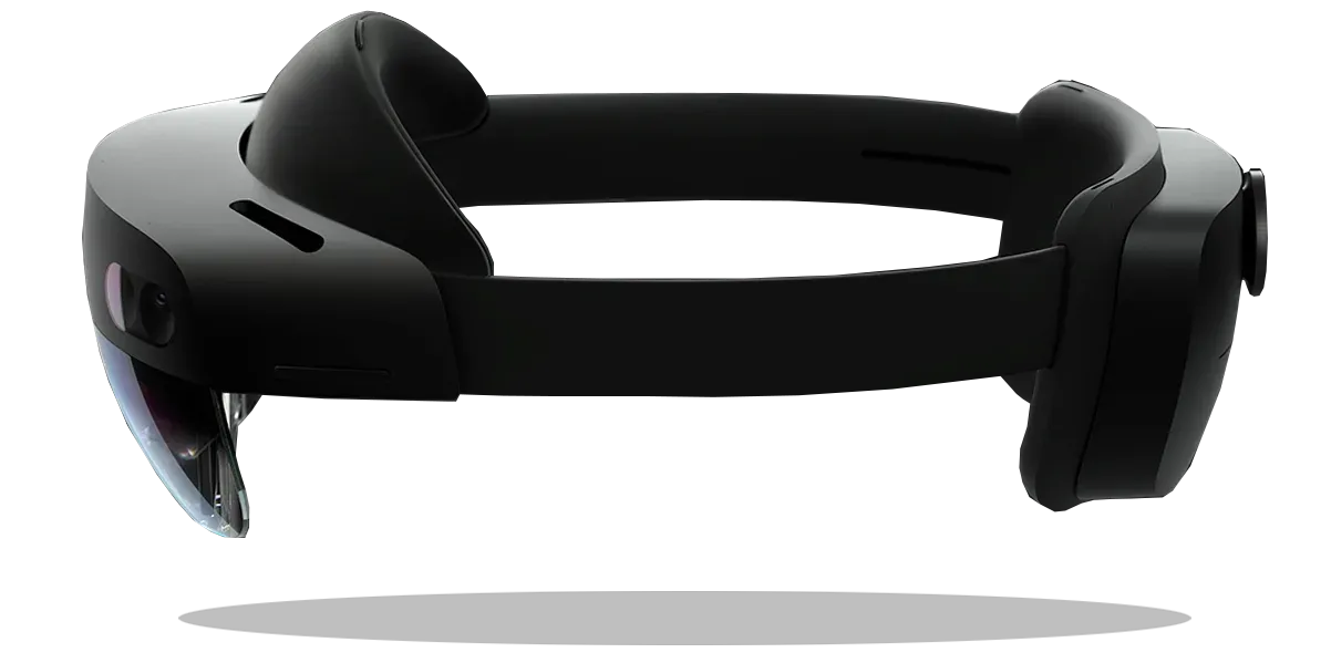
Built for the most demanding environments, HoloLens 2 delivers a unique immersive experience that transforms how teams work on site.

  • High-performance hardware
    Capable of displaying and manipulating multi-gigabyte BIM models without compromising fluidity.
  • See-through display for maximum safety
    Augmented Reality overlays the real world without blocking it, allowing users to stay aware of risks and movements on site.
  • Hands-free comfort
    Inspections and checks are performed without tablets or interruptions, reducing fatigue and improving focus.
  • Designed for construction sites
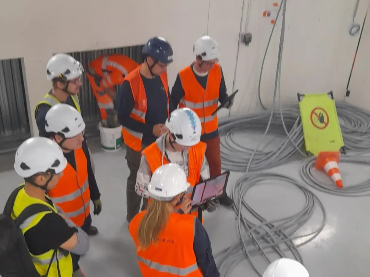
    Compatible with safety helmets and adaptable to different working environments, HoloLens 2 naturally fits field constraints.
Thibaut Isambert, BIM Manager— VINCI Construction
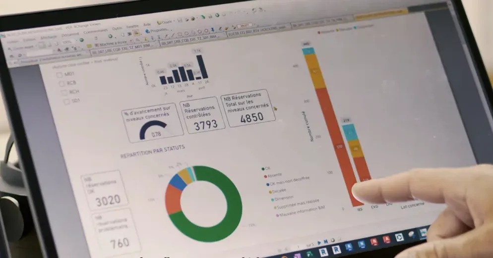
With NEXT-BIM, my reservation checks have become incredibly efficient. I can verify an average of 1,500 m² per hour and between 250 and 500 technical openings per hour. I can control all technical reservations without interpreting 2D plans on site. The time savings are significant, and the accuracy is unmatched.

Prepare your model in just a few clicks

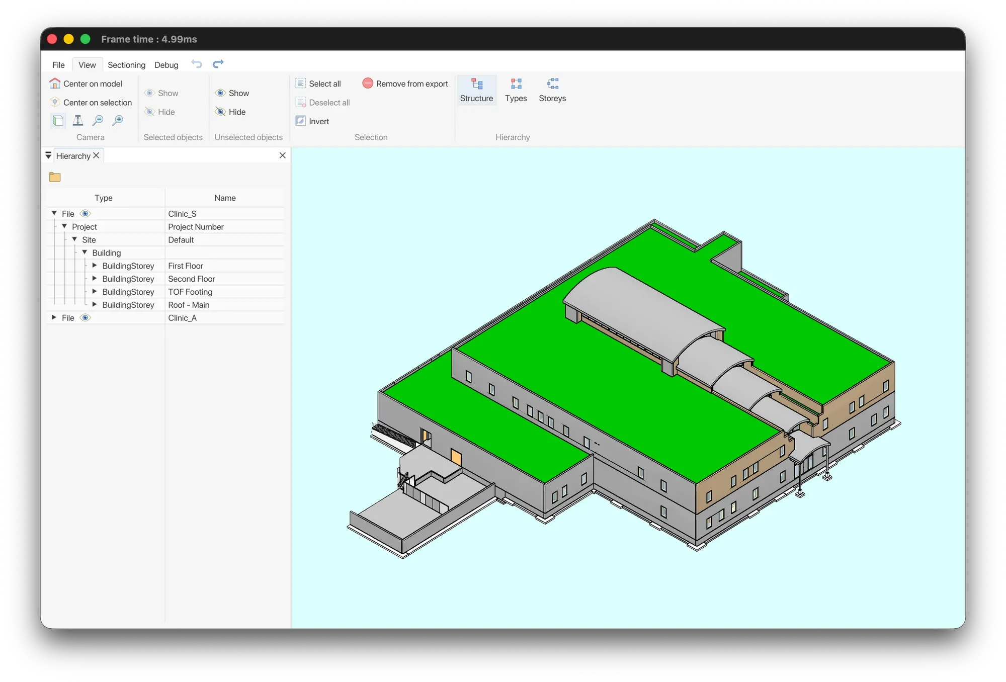
In the office, prepare your model once for efficient use. With NEXT-BIM Configurator (PC), users can independently convert IFC or NWD files into the proprietary NEXT-BIM format. Reusable templates eliminate the need to reconfigure models for updates or new projects.

  • Automatic conversion
  • Reusable templates
  • Custom configuration (Colors, filters, checklists, progress tracking….)
  • Time-saving

    Reusable templates across all projects.

  • Custom setup

    Adapted to each trade.

  • Field-ready

    No setup required on site.

Augmented Reality session on site

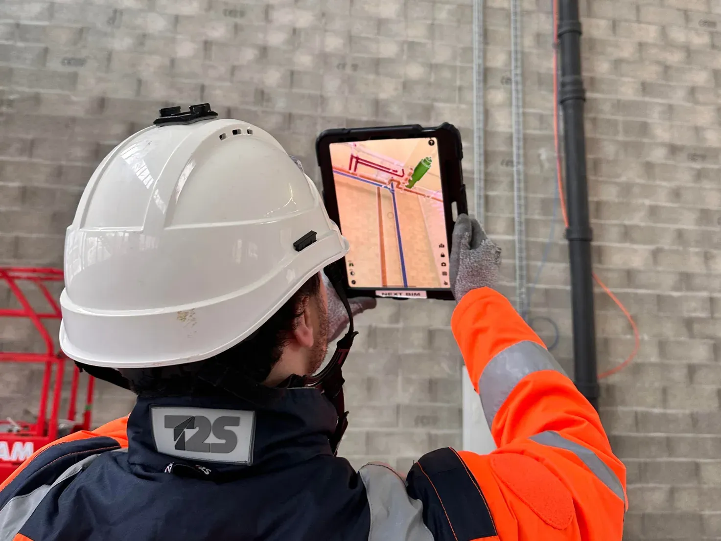
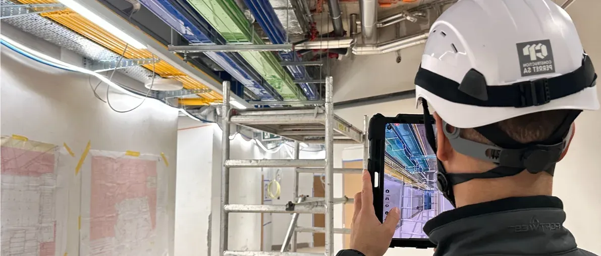
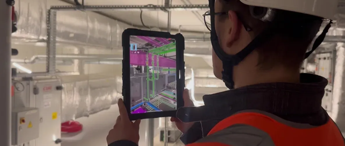
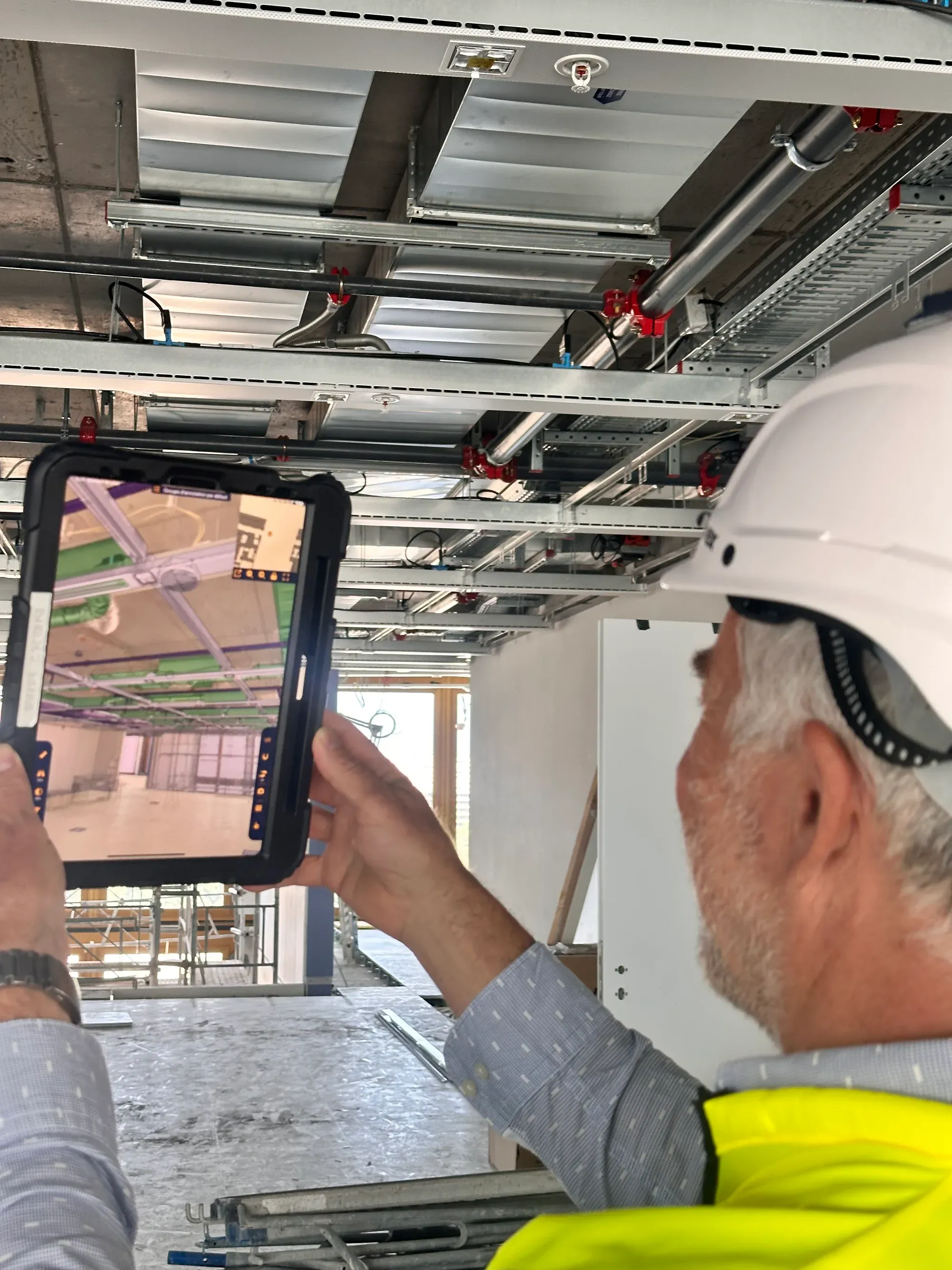
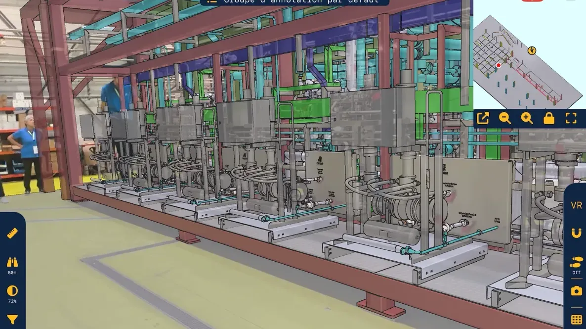
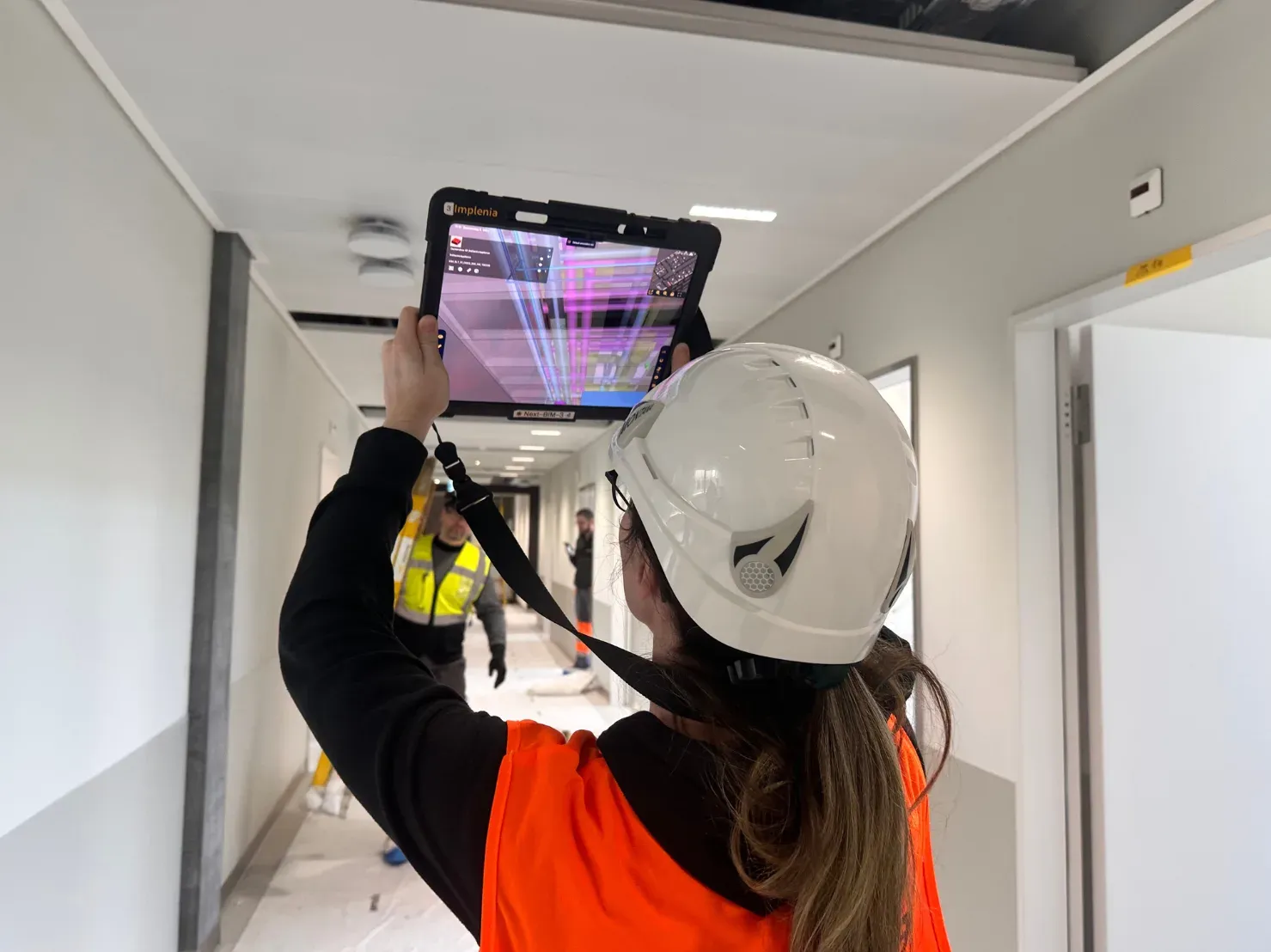
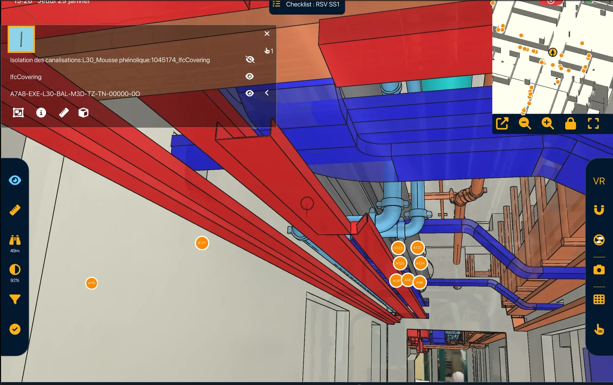
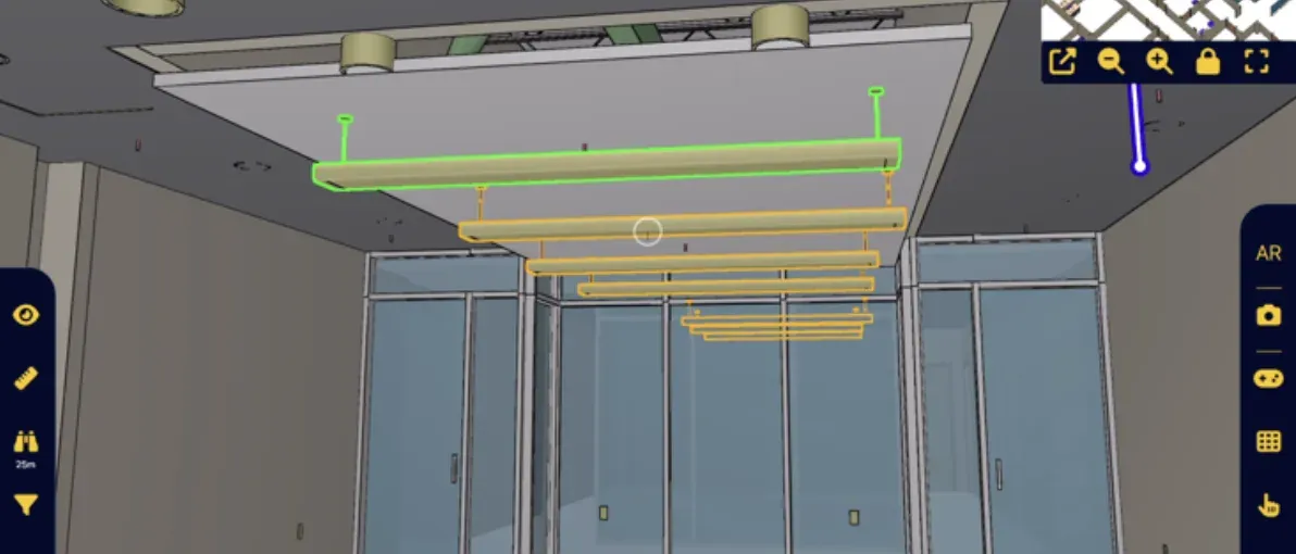
The NEXT-BIM Explorer application enables the overlay of the 3D model onto the real environment. Users can create Augmented Reality annotations to capture and report observations during their session.

  • Automatic & continuous alignment: precise and stable positioning of the model within the real environment
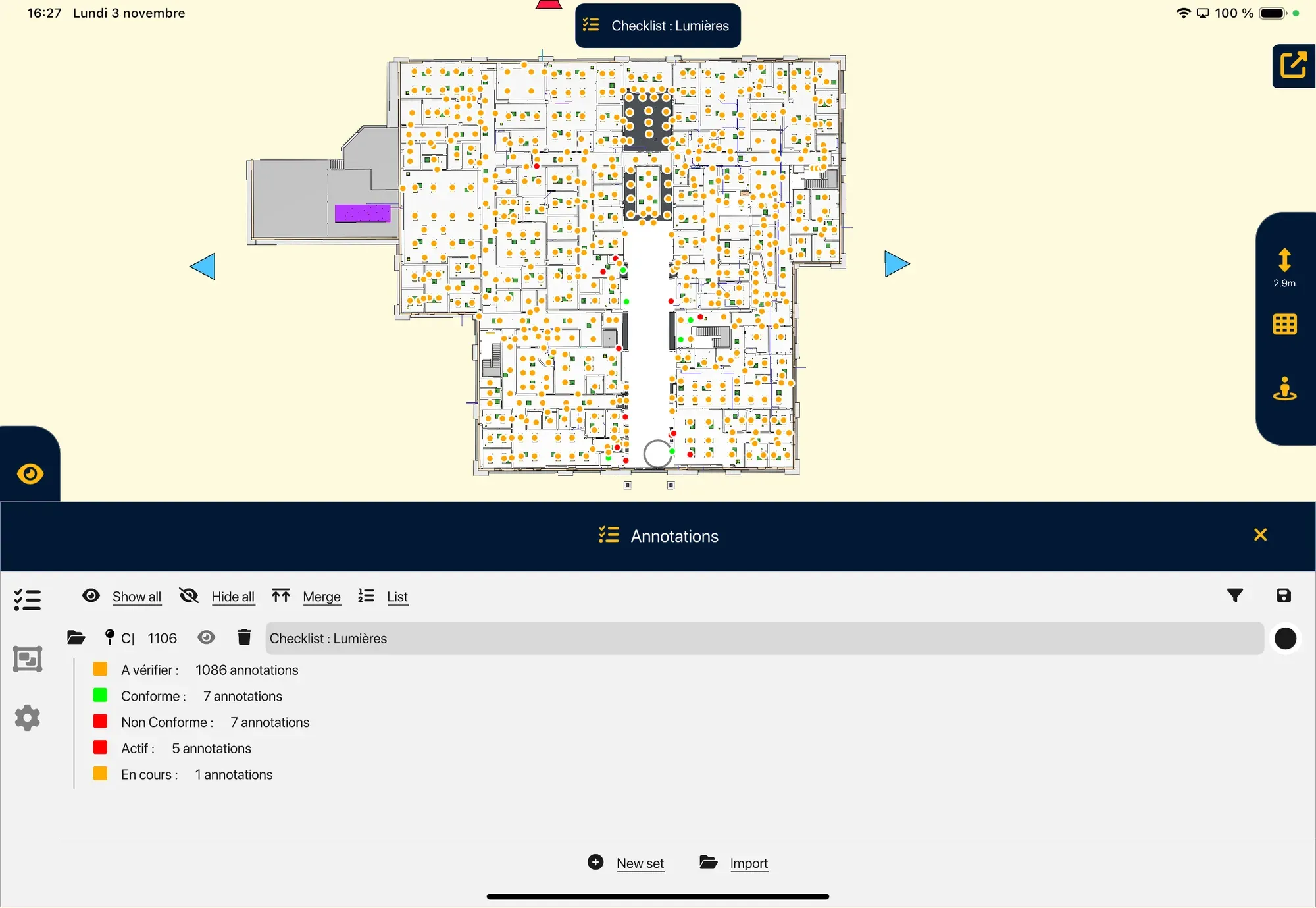
  • Geolocated annotations: comments linked to BIM objects, including photos and data
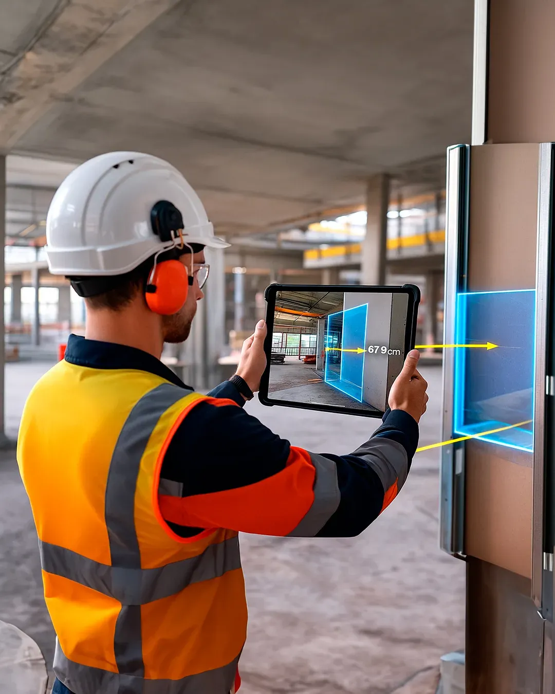
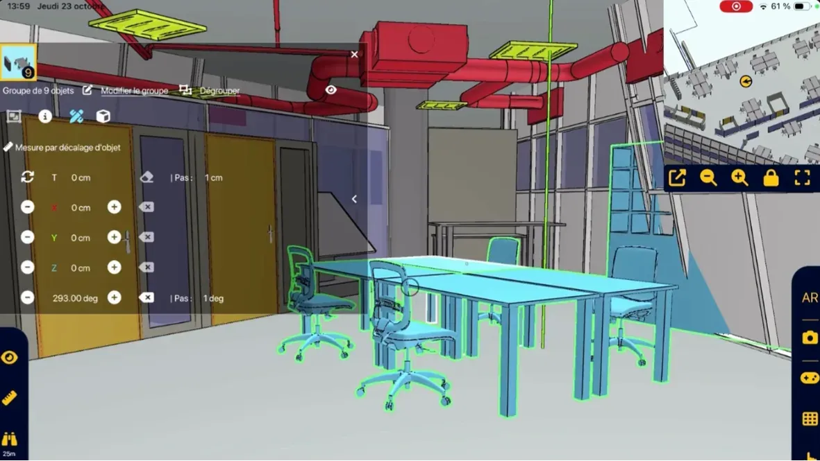
  • Field tools: measurements, checklists, progress tracking
  • Offline mode: no internet connection required on site
  • Fewer errors

    Immediate visual inspection + technical information displayed in the right place.

  • Simplicity

    Immediate usability and clear understanding of the 3D model for all profiles.

  • Quality

    Improved work quality with elements correctly installed from the first time.

Augmented Reality session on site

At the end of the session, export your data in the formats expected by your BIM teams and collaborative tools.

All NEXT-BIM data can be exported in .BCF (2.1, 3.0), .XLSX + JPG, or Word formats. Annotations can be reopened in all BIM collaborative platforms and are georeferenced within the 3D model, including all associated data (photos, status, title, comments, technical information, measurements, etc.).

  • Standard exports: BCF 2.1/3.0, XLSX, Word
  • Enriched data: site photos, AR photos, status, title, comments, technical information, measurements
  • BIM interoperability: compatible with collaborative platforms and OpenBIM workflows

  • No re-entry

    The report is automatically generated from field data.

  • Greater traceability

    Each observation is geolocated in the 3D model and attached to a BIM object.

  • Easy integration

    Formats already used by your teams and partners.