A professional, field-ready Augmented Reality solution for everyone.
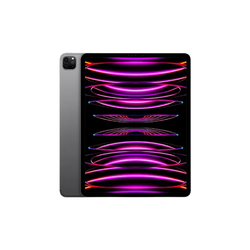
iPad Pro® version
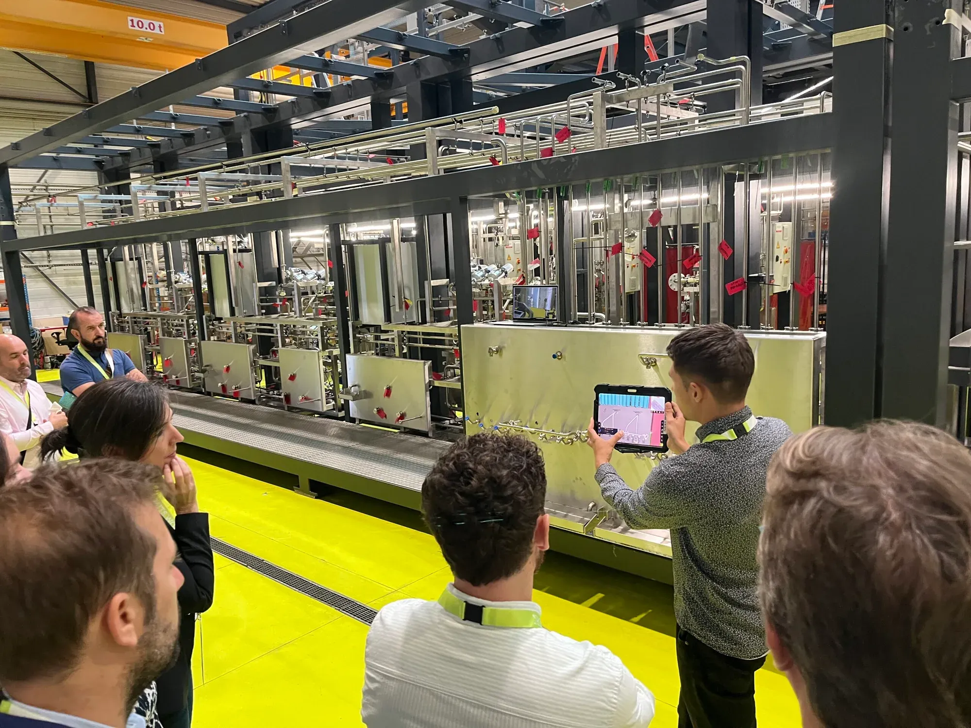
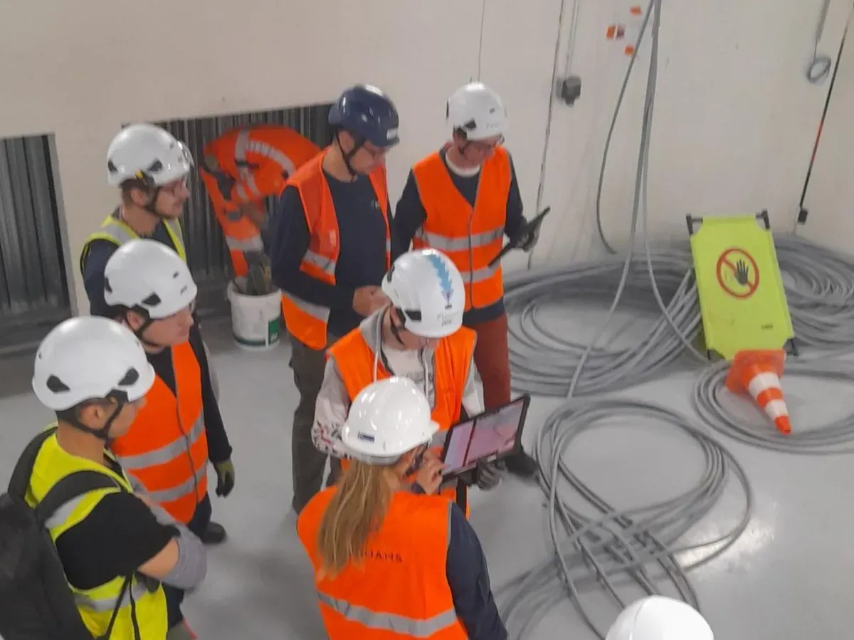
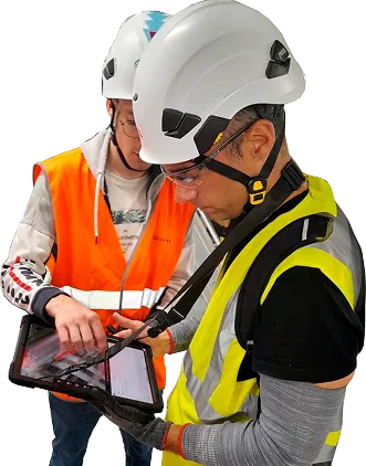
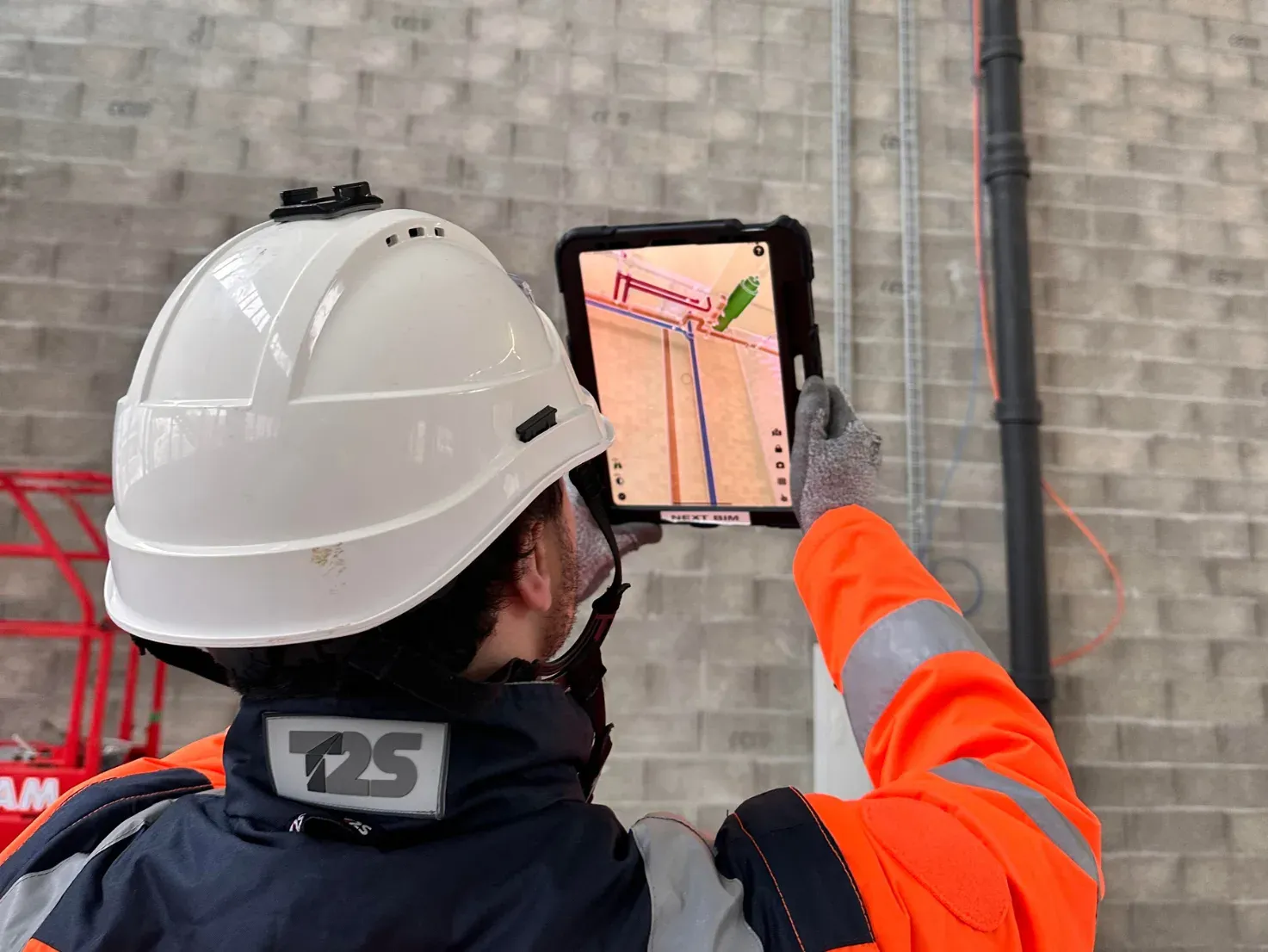
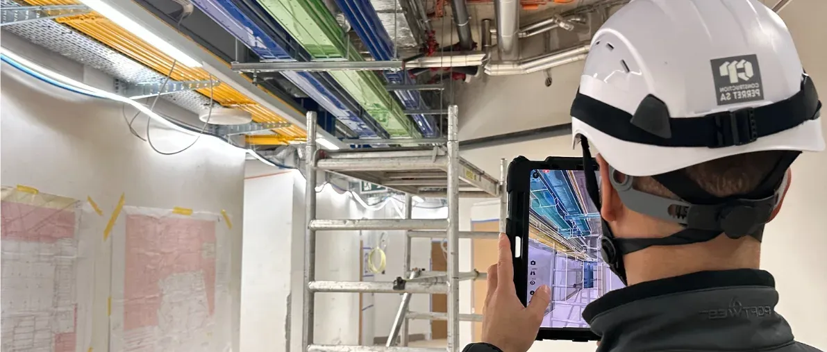
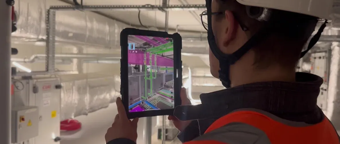
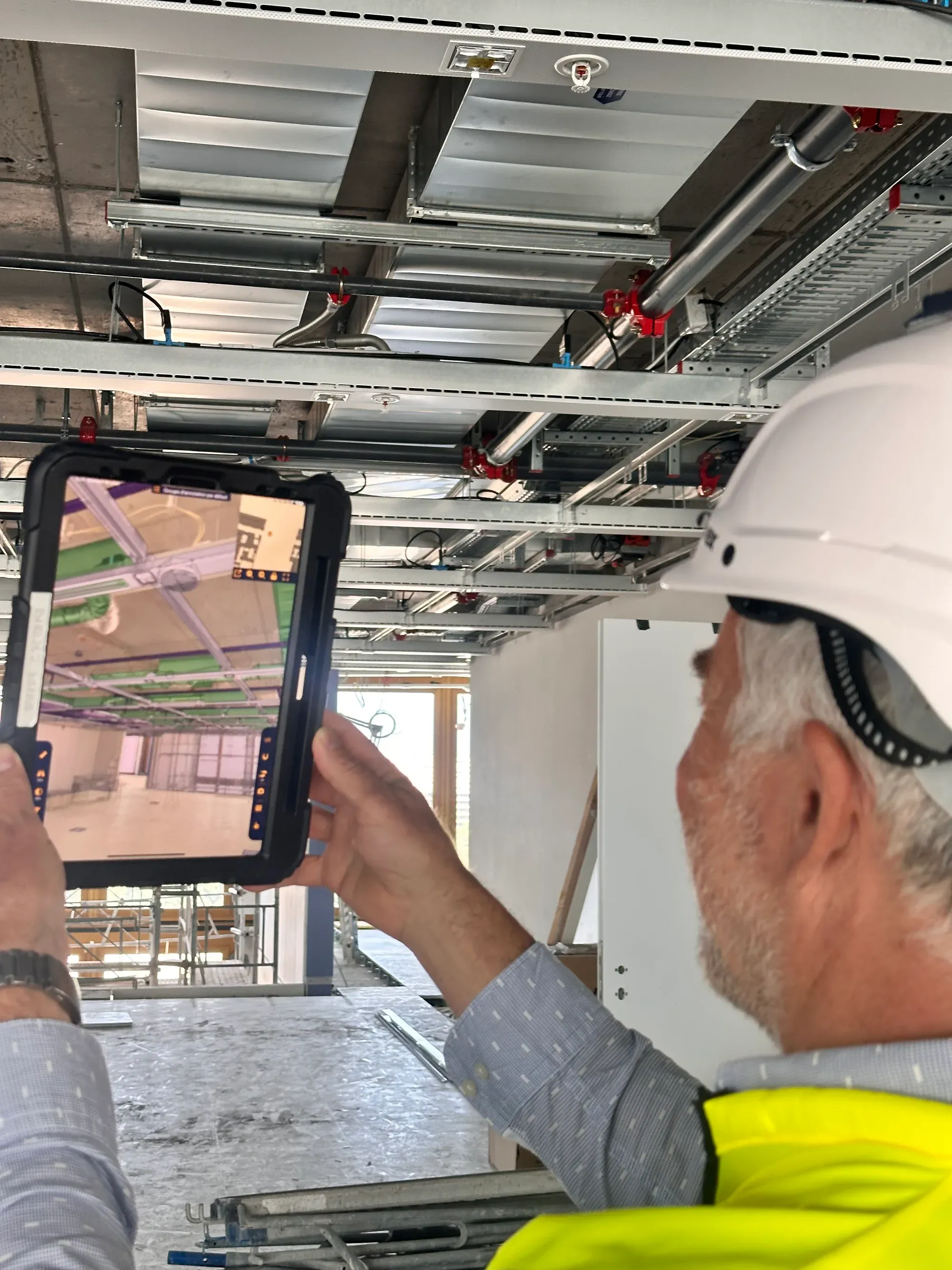
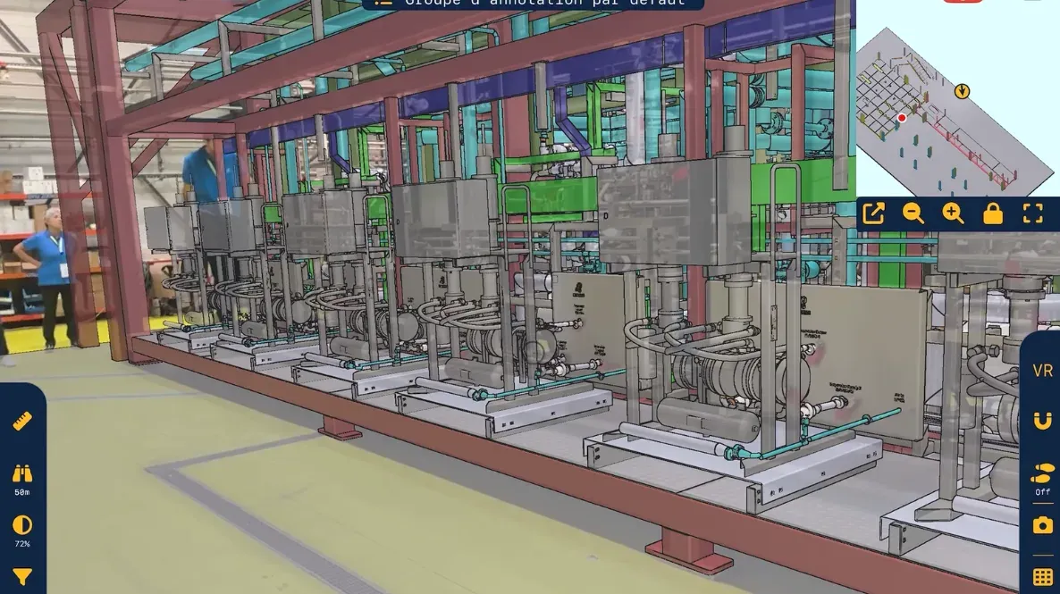
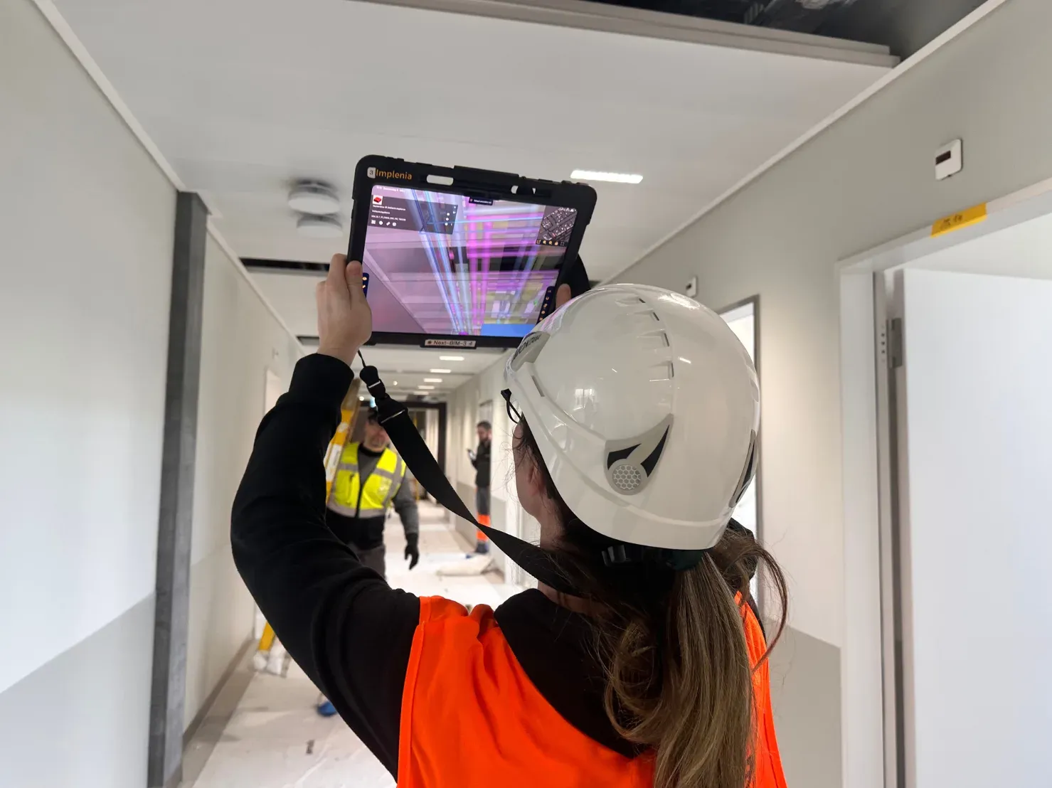
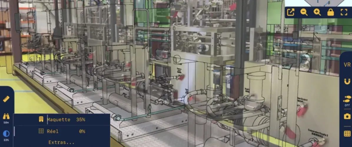
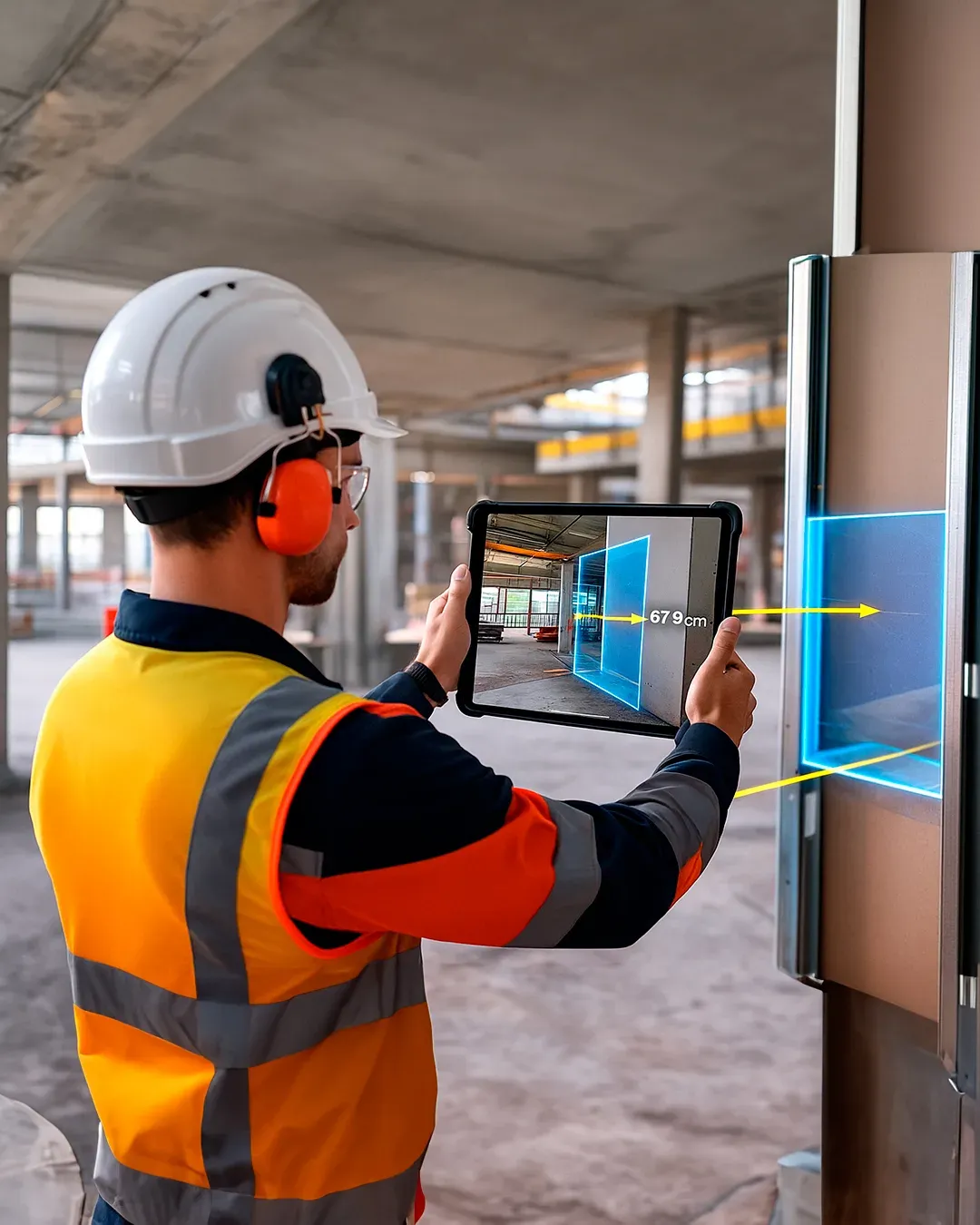
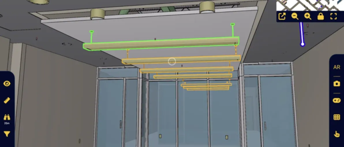
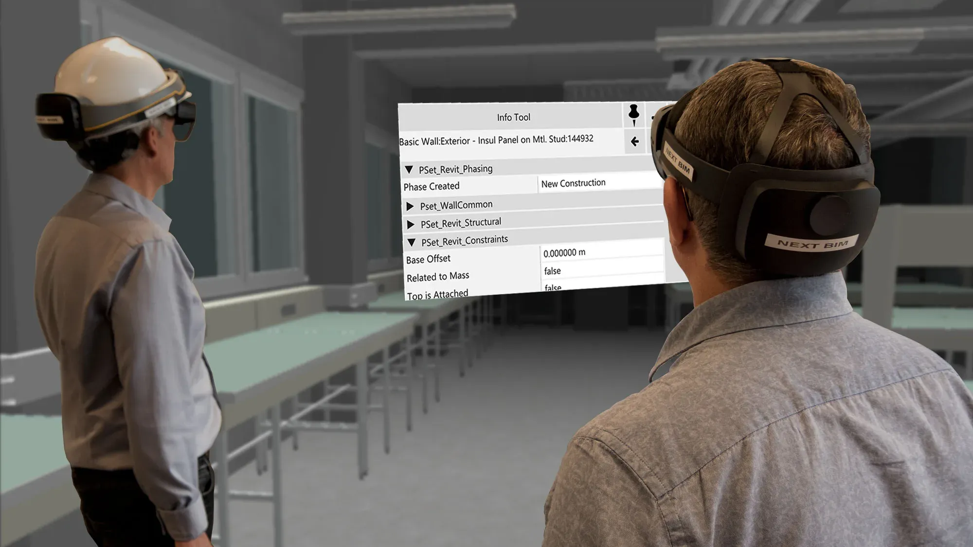
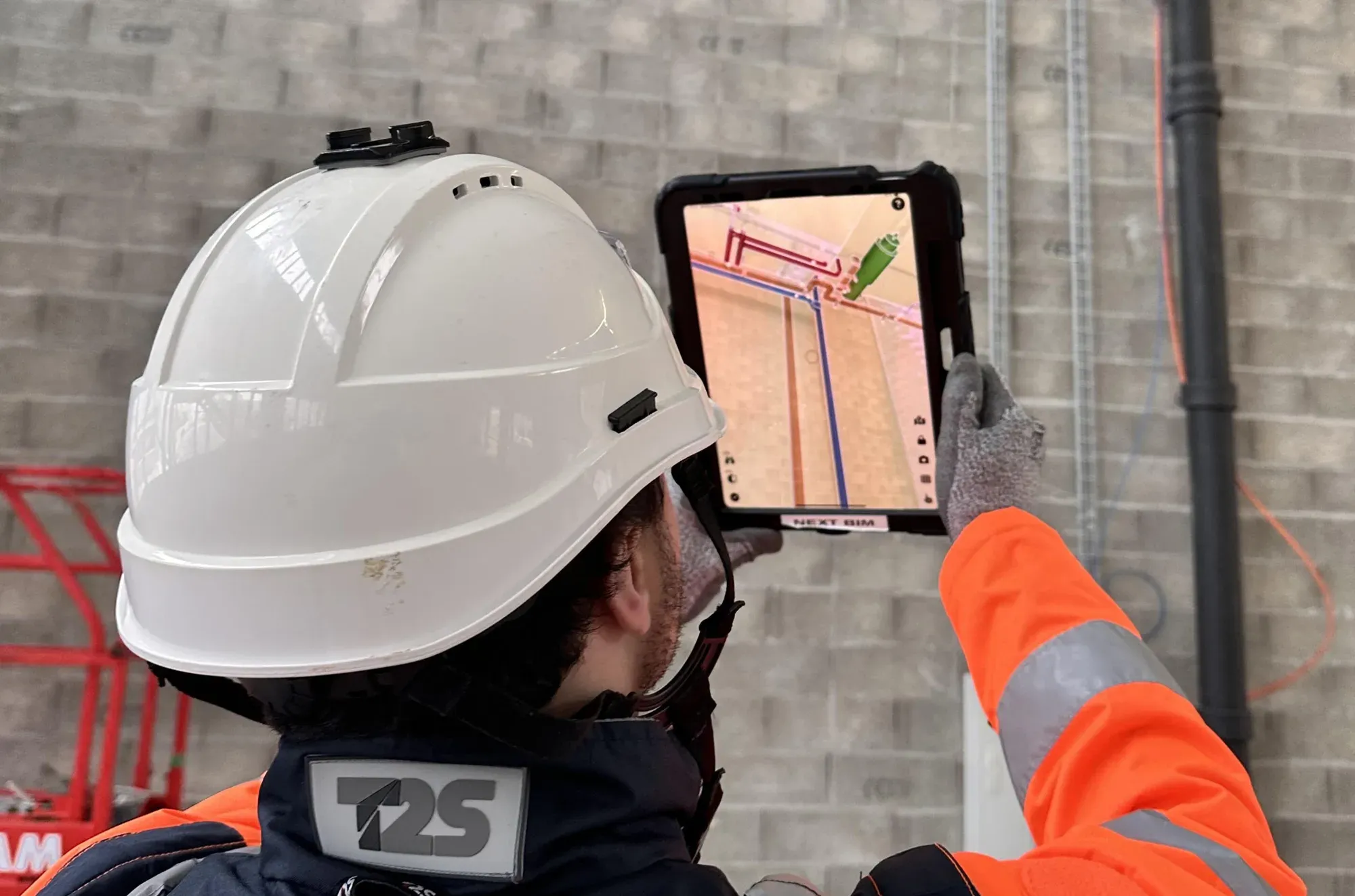
Visualize your BIM model at full scale directly on site—without internet and without complex setup. Augmented Reality (AR) becomes accessible to all field teams. Keep your model at your fingertips, ready to be displayed in AR on site to check, annotate, and export reports in just minutes.
A BIM Augmented Reality solution designed for the field—not for demos.
Instant onboarding No BIM expertise required. Designed for field teams.
Automatic, continuous alignment Precise overlay of the 3D model onto reality no markers, no site preparation.
Already used on site NEXT-BIM runs on iPad a device already widely adopted by field teams.
Works anywhere, even offline No internet required works underground or in constrained environments.
Handles very large BIM models Smooth navigation through multi-GB models, powered by NEXT-BIM’s proprietary engine.
OpenBIM & actionable reports Direct export to Word, Excel, and BCF, seamless integration with existing workflows.
Why iPad Pro?
The iPad Pro is currently the only tablet equipped with a LiDAR sensor (Light Detection and Ranging)—a key technology for precise Augmented Reality on construction sites.
This sensor continuously scans the real environment by measuring distances and volumes. Combined with NEXT-BIM’s unique alignment technology, it enables:
Automatic and precise alignment of the 3D model with reality, without QR codes or markers.
Real-time correction of positional drift through continuous model alignment, ensuring reliable overlay even while moving on site.
Centimeter-level accuracy suited to professional uses, such as progress tracking, as-built documentation, commissioning (OPR), quality control, and maintenance.
Design phase
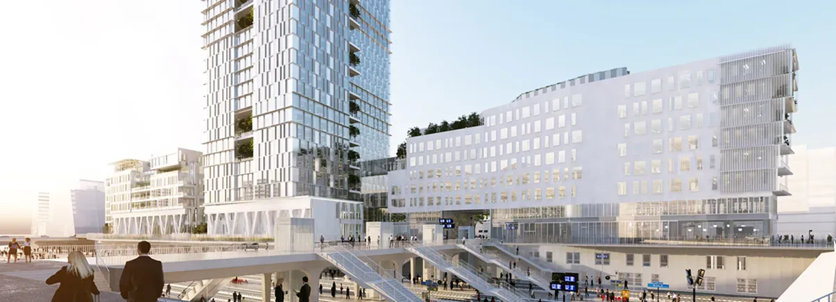
Project on an empty site to validate layout intentions.
Construction phase
Quality control, installation, error detection.
Maintenance phase
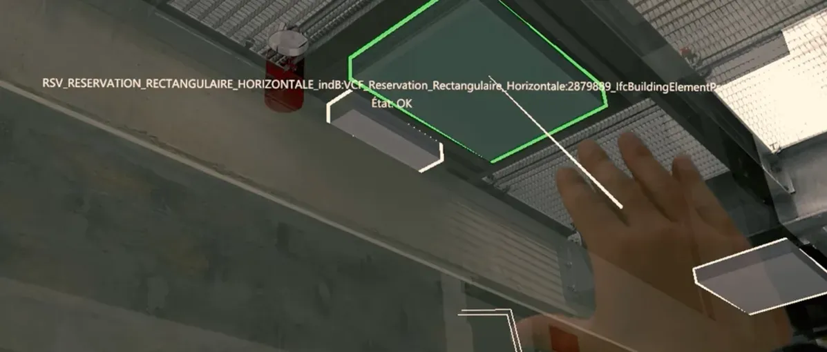
Visualize hidden networks through walls for fast and accurate checks.
At Spie Batignolles, we tested all AR solutions on the market, and NEXT-BIM is the only one that fully meets our expectations in terms of accurate alignment between the 3D model and reality.
A process designed for field teams: prepare in the office, use on site in AR, and export actionable data.
Prepare your model in just a few clicks
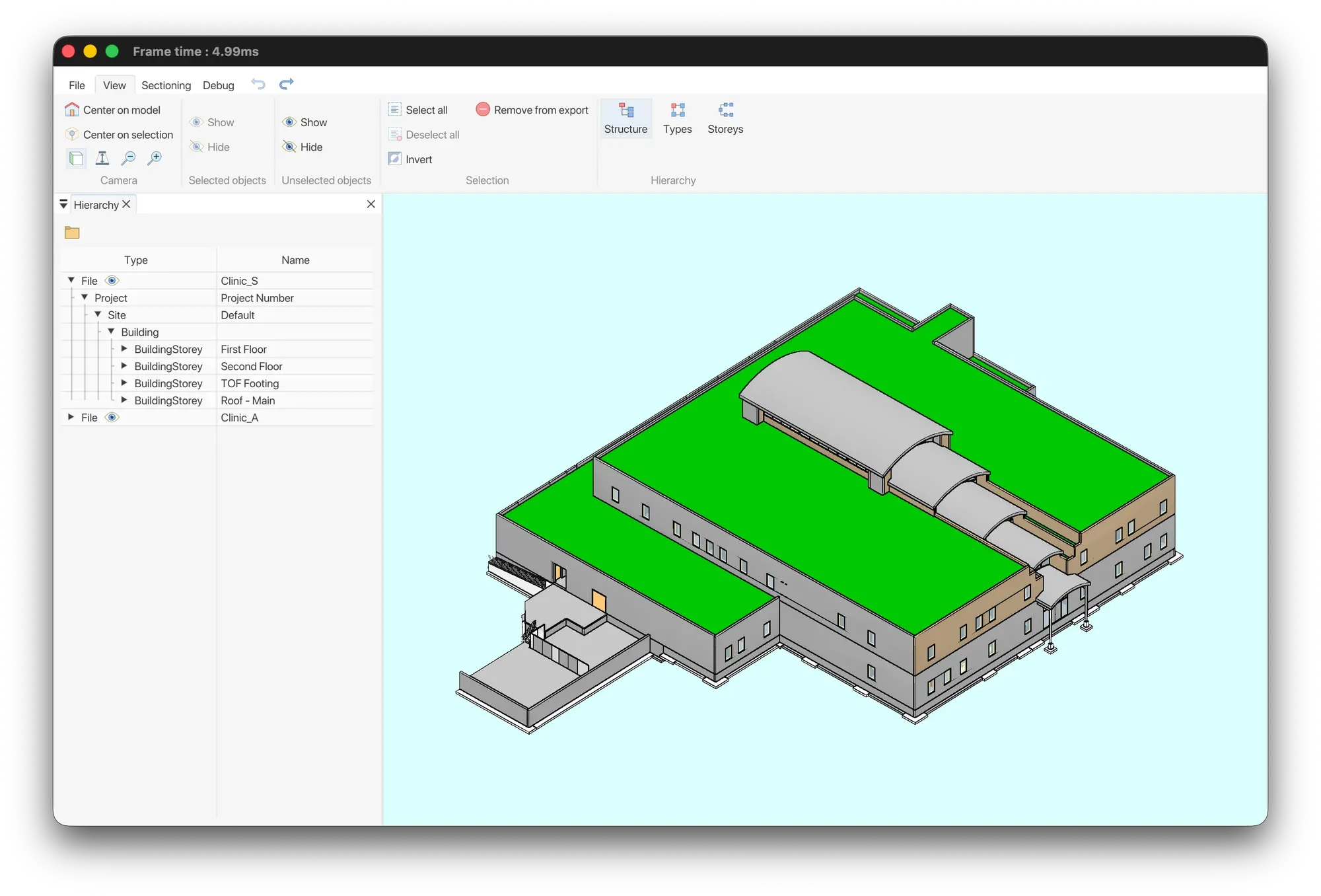
In the office, prepare your model once for efficient use. Using the NEXT-BIM Configurator on PC, users can independently convert IFC or NWD files into the proprietary NEXT-BIM format. Reusable templates allow you to avoid reconfiguring models for updates or new projects.
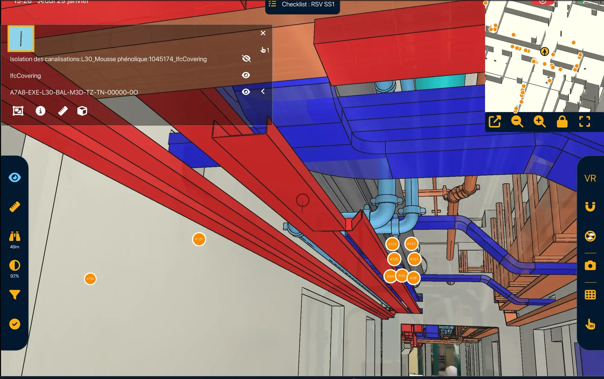
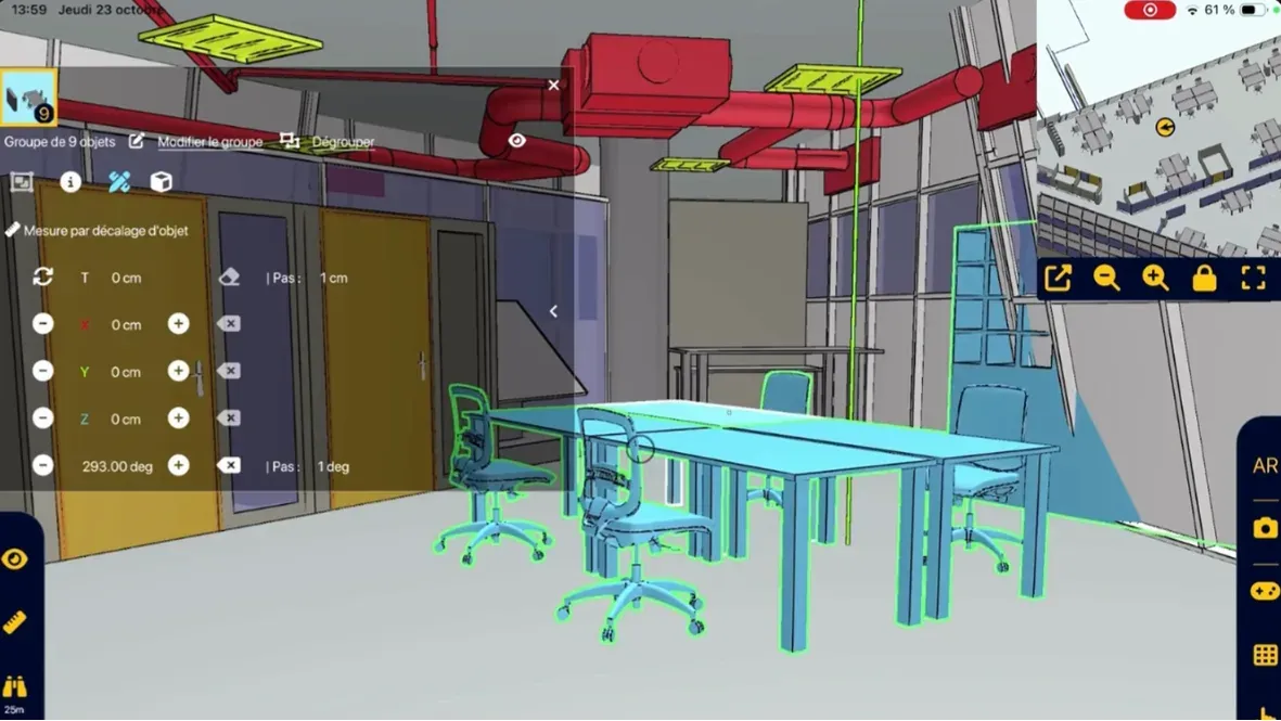
The NEXT-BIM Explorer application allows you to overlay the 3D model onto the real environment. The user creates Augmented Reality annotations to record observations during the session.
Automatic & continuous alignment Precise and stable alignment of the model within the real environment.
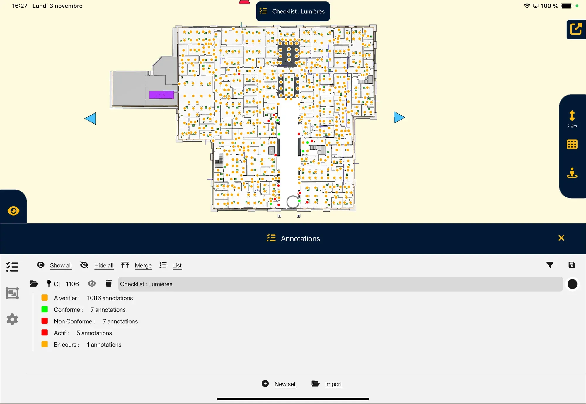
Geolocated annotations Notes on BIM objects, including photos and data.
Field tools Measurements, checklists, progress tracking…
Offline mode No internet connection required on site.
Fewer errors
Immediate visual inspection + technical information displayed in the right place.
Simplicity
Immediate usability and clear understanding of the 3D model for all profiles.
Quality
Improved work quality with elements correctly installed from the first time.
Augmented Reality session on site
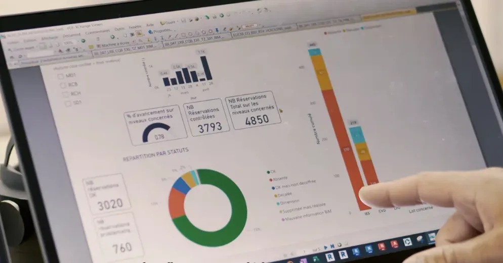
At the end of the session, export your data in the format required by your BIM teams and collaborative tools.
All NEXT-BIM data can be exported in BCF format (2.1, 3.0), XLSX + JPG or Word. Annotations can be reopened on all collaborative BIM platforms and are georeferenced in the 3D model with all associated data (photos, status, title, comments, technical information, measurements…).
Standard exports BCF 2.1/3.0, XLSX, Word
Enriched data Site photo, AR photo, status, title, comment, technical information, measurements…
BIM interoperability Compatible with collaborative platforms and OpenBIM workflows.
No re-entry
The report is automatically generated from field data.
Greater traceability
Each observation is geolocated in the 3D model and attached to a BIM object.